- Animals
- ›Arthropods
- ›Hexapods
- ›Insects
- ›Winged and Once-winged Insects
- ›Butterflies and Moths
- ›Pyralid and Crambid Snout Moths
- ›Pyralid Snout Moths
- ›Knot-horn Moths
- ›Phycitini
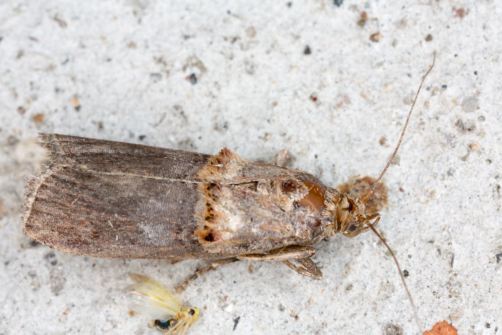
Trachonitis
The Lajat (Arabic: اللجاة/ALA-LC: al-Lajāʾ), also spelled Lejat, Lajah, el-Leja or Laja, is the largest lava field in southern Syria, spanning some 900 square kilometers. Located about 50 kilometers (31 mi) southeast of Damascus, the Lajat borders the Hauran plain to the west and the foothills of Jabal al-Druze to the south. The average elevation is between 600 and 700 meters above sea level, with the highest volcanic cone being 1,159 meters above sea level. Receiving little annual rainfall, the Lajat is largely barren, though there are scattered patches of arable land in some of its depressions.
The region has been known by a number of names throughout its history, including "Argob" (Hebrew: ארגוב ’Argōḇ, sometimes vocalized as Argov) in the Hebrew Bible and "Trachonitis" (Greek: Τραχωνῖτις) by the Greeks, a name under which it is mentioned in the Gospel of Luke (Luke 3, Luke 3:1). Long inhabited by Arab groups, it saw development under the Romans, who built a road through the center of the region connecting it with the empire's province of Syria. The pagan cults that predominated in Trachonitis during the Roman and pre-Roman era persisted through much of the Byzantine era, until the 6th century when Christianity became dominant. During Byzantine rule, Trachonitis experienced a massive building boom with churches, homes, bathhouses and colonnades being constructed in numerous villages, whose inhabitants remained largely Arab.
8 branches of this genus, most-observed first

Trachonitis cristella
speciesTrachonitis cristella
Trachonitis capensis
speciesTrachonitis capensis
Trachonitis montana
speciesTrachonitis montana
Trachonitis fuscocristella
speciesTrachonitis fuscocristella
Flabellobasis lynx
speciesFlabellobasis lynx
Flabellobasis attis
speciesFlabellobasis attis
Trachonitis renatella
speciesTrachonitis renatella
Trachonitis odilella
speciesTrachonitis odilella
Where it lives
Recorded sightings
—
geo-referenced records in GBIF, from museums, herbaria and field observers.
Drag the globe to turn it. Dots are where records exist, not a range map; darker means more records.
In the stacks
Searching the stacks…
Every page naming Trachonitis in the Biodiversity Heritage Library →
This page is assembled live from iNaturalist, GBIF, Wikipedia, the Source Library and the Internet Archive. It is not yet part of the hand-edited codex. iNaturalist taxon 481633.